 Click any of the images on this page
to see full size
Naturaland Trust Trail is one of the most memorable, enjoyable trails one will ever hike. It is also one of the most challenging! Its northern section has a 1,000 foot elevation gain in just under a mile. But you are well rewarded for that effort with a bird's eye view of Raven Cliff Falls (see photo, above), as well as crossing directly above the falls on a suspension bridge that allows looking directly down on the falls.
GPX data for download:
Dismal Trail/Naturaland Trust Trail Loop.
Naturaland Trust Trail is a 5.8 mile trail whose eastern terminus is at the Frank Coggins Trail just east of Caesars Head State Park in South Carolina. Its western end is north and west of Raven Cliff Falls, at the juncture with Gum Gap Trail. All of these trails are part of the "Mountain Bridge Trail" system in South Carolina.
The loop described in this trip report covers the western end of this trail: the 1.7 miles from the juncture with Dismal Trail to the juncture with Gum Gap Trail. This 1.7 mile portion of this trail climbs 1,280 feet in elevation. The entire loop (starting and ending at Raven Cliff parking lot) is 8.7 miles, and generally takes me about 6 1/2 - 7 hours to do.
I began the hike at the Raven Cliff parking lot on highway 276, 1 1/2 miles south of the NC/SC state line.
The hardest part of the hike may be finding the parking lot ... while it is located right on the highway, it is significantly downhill from the highway and cannot be seen from it.
If coming from the north, watch for a sign for "Overnight Log Cabins" on your left, that is located right in a rather sharp right hand curve. Just ahead, you will see some split rail log fencing on the left. Turn left into the parking area just before this fencing.
If coming from the south, you have an easier time: you will see the trail's beginning clearly marked on the left, along with a painted white crosswalk across the road. Look for the split rail fencing (on the right), and turn right into the parking area.
South Carolina charges a $2.00 per person day use fee ($1.25 for SC residents 65 and older, disabled residents, and National Guard members), paid via the honor system by means of small envelopes located at each trail head, that are dropped into a lock box. This area's vast protected lands available for hiking are well worth paying for in my book, and I urge all users to contribute to the upkeep of these wonderful parks.
Once you've located the parking area and paid your fee, walk across highway 276 and begin your hike.
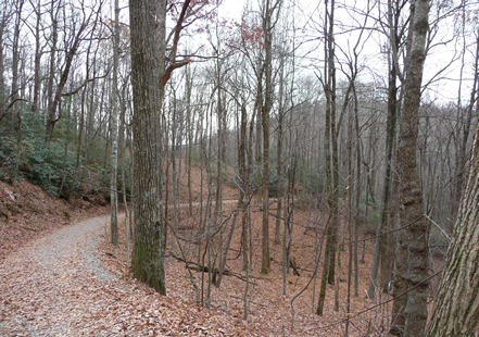
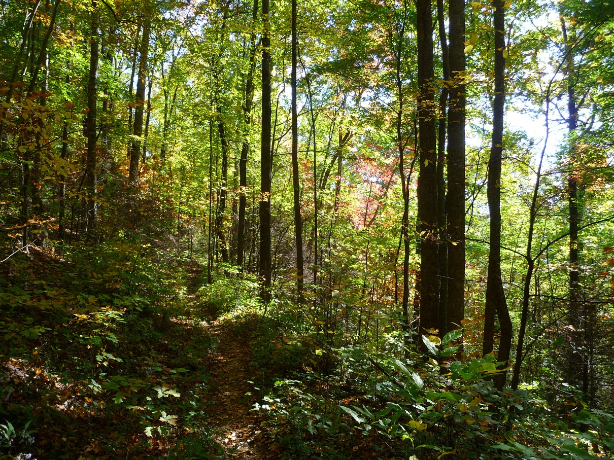
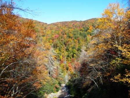
Initial portion of the trail
Directly across the highway from the parking area
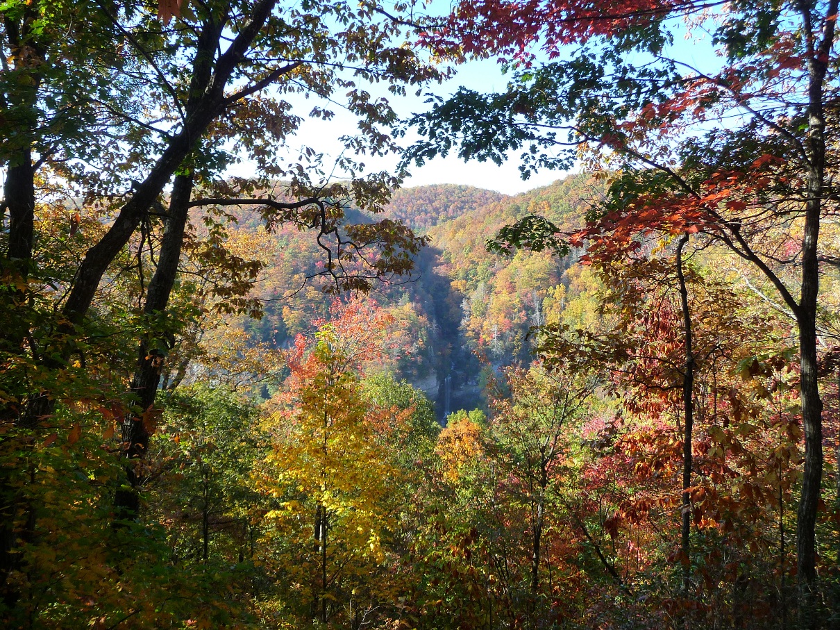
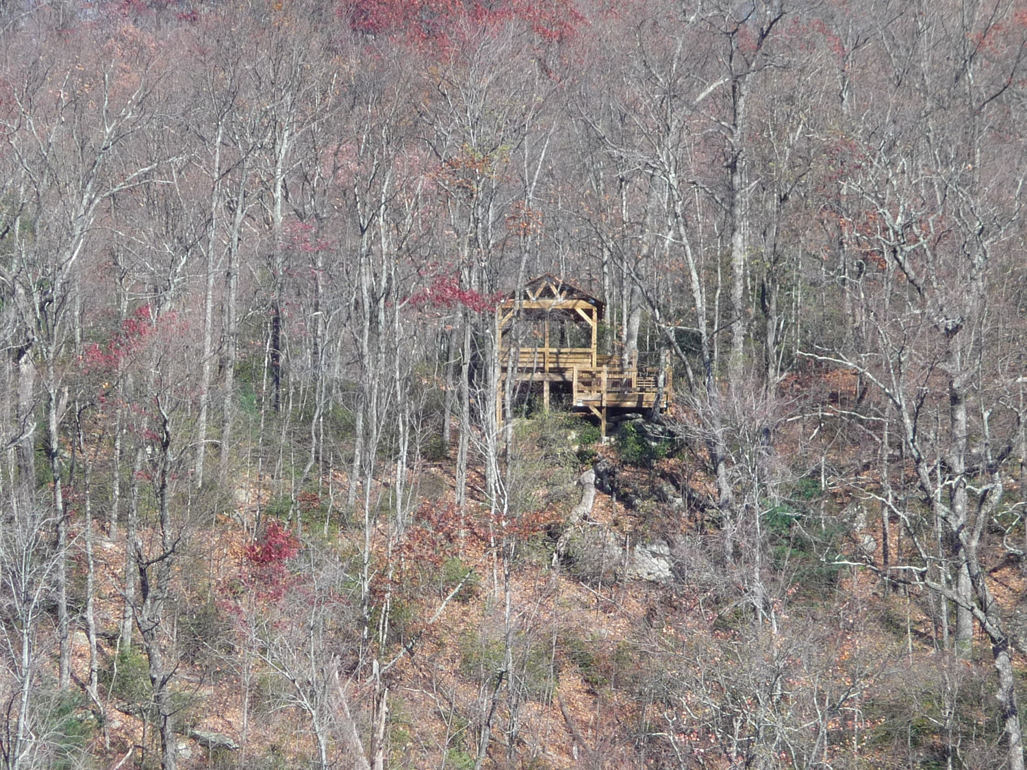
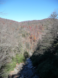
The first 2 miles of this hike is easy walking, and takes you to an observation deck that gives you an "across the gorge" view of Raven Cliff Falls. Please see the Raven Cliff Falls page for a description of this portion of the hike.
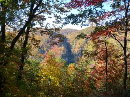
Click image above to view full size
One can see Raven Cliff Falls in the center of the photo
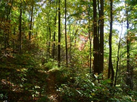
After enjoying the view at the observation deck, backtrack a short distance and make a sharp right hand turn onto Dismal Trail, named for the area the trail passes through that is a dense, mature hardwood forest directly beneath Caesars Head.
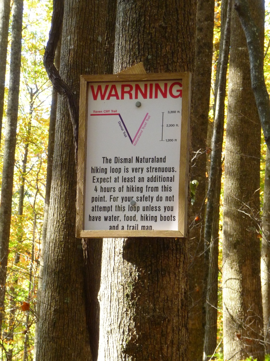
Apparently, whoever it is who manages these trails wants to make sure folks preparing to do this loop are prepared and aware of the mileage and elevation gain/lost that awaits them. The photo below is found right at the beginning of Dismal Trail!
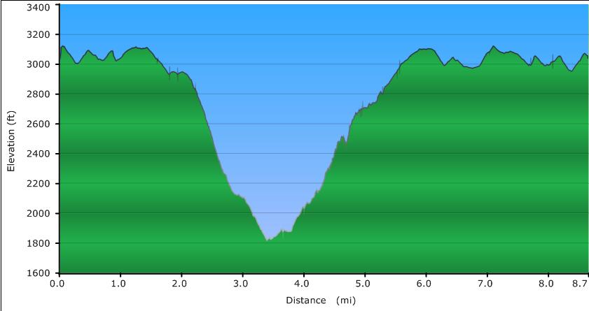
Looking at my GPS's profile, they seem to have the "V" shape correct, however their elevation figures are a little off!
Click image for a larger profile
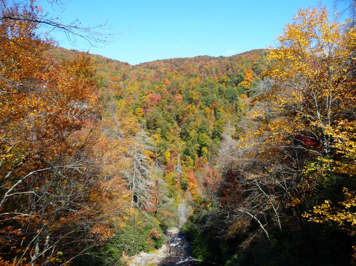
Dismal Trail drops 1,100 feet in elevation in its 1.3 mile length. The hiking is fairly easy, with only a few significantly steep sections. The terrain is quite open, giving long range views of the valley beneath Caesars Head.
Dismal Trail comes to its southern/eastern end at Naturaland Trust Trail. Be sure to watch for this intersection, since it requires you to make a very sharp 300 or so degree right turn to the right. Missing this turn and continuing ahead straight will bring you out (in another 3.6 miles) to highway 276, 1 1/2 miles south of the Raven Cliff parking lot.
The intersection is well marked with one of the area's typical map signboards. Both trails are also blazed with paint on the trees: Dismal has purple blazes, Naturaland Trust has pink blazes.
By far the most fun portion of the hike comes 0.2 mile after turning onto Naturaland Trust Trail when you get to cross Matthews Creek on cables.
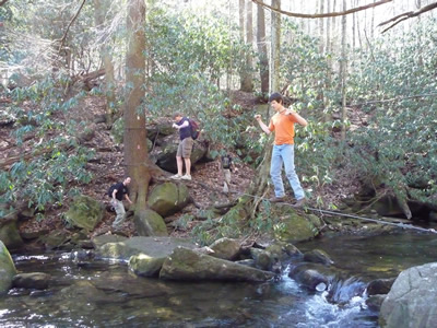
UPDATE as of June, 2012: I'm very sorry to say that this cable crossing is no more. The crossing has changed to a rock-hop across the creek, a little downriver from where this cable crossing had been.
One trip had me hiking this loop on a warm, sunny weekend day, and by the time my hiking companions and I reached this crossing, there were quite a mixture of folks, as well as dogs, on either side of the river at this crossing, as well as IN the river (mostly the dogs were IN the river!). Seasoned cable crossing veterans were helping and encouraging the first time folks across. The younger teenagers were scampering across, seeing how quickly they could navigate the cables.
Another trip on a warm, sunny day in October my two companions and I met no other hikers until the very last 1/2 mile approaching the parking area.
Once across the stream via the cable crossing, one begins the climb to Raven Cliff Falls in earnest. The trail remains visually close to Matthews Creek the entire way, but steadily climbs well above it. The hiker is treated to the sounds of the creek's rushing waters the entire way.
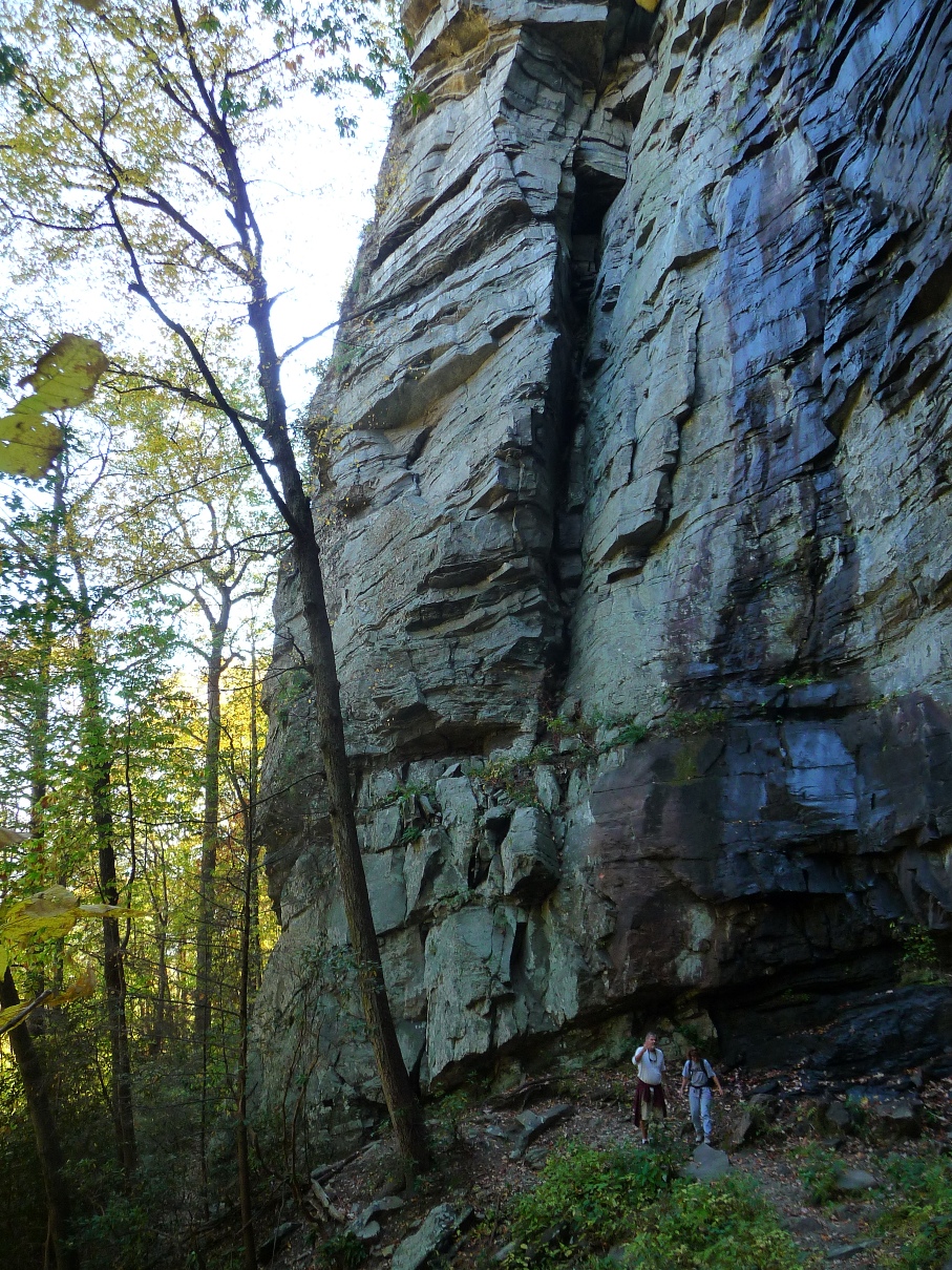
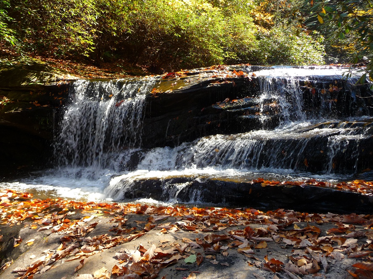
After 0.7 mile and 500 feet of climbing, one arrives at "The Cathedral", a spectacular rock formation approximately 200 feet high. In the first two photos below (taken on different trips), note the hikers in each photo to give you a perspective of the vastness of this section!

February, 2009, above
October, 2011, below

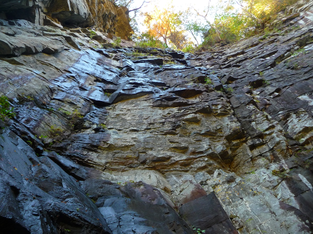
The image below is shot from the base, looking up

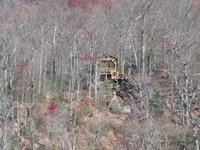
After leaving "The Cathedral", one continues climbing in earnest once again. In another 700 feet or so, the trail makes one of its many switchbacks. Just before the switchback (to the left in this case), straight ahead of you, is a large, large mass of downed tree limbs.
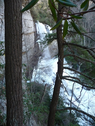
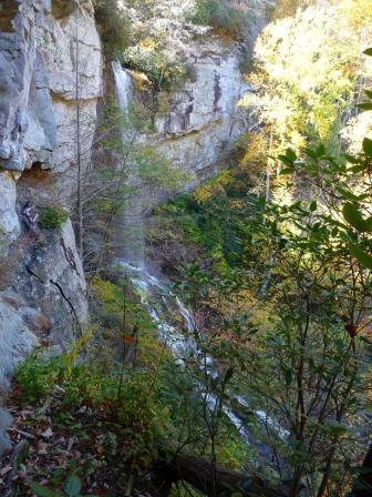
The first time I did this loop, most fortuitously, just as I was coming to this spot, 2 hikers were making their way through this mass of downed tree limbs, and as they emerged, they told me that the other side of this downed tree mass is the best view of the falls, and in fact, used to be part of the original trail.
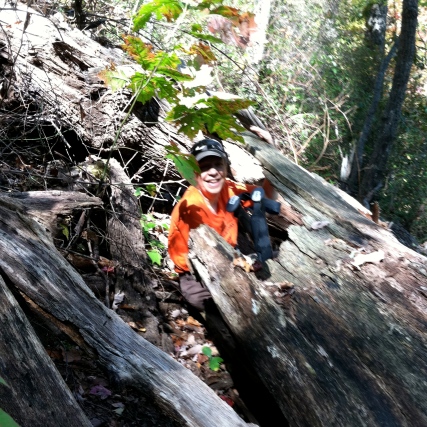
Yours truly, making her way thru the downed tree
How right they were!! The picture at the very top of this page was taken from the ledge one comes to, with THE MOST incredible view of the falls. That photo was taken in February, 2009.
The image below shows a shot of the falls from this location in October, 2011 (in lower water level).
Landmarks to look for in order to find this spot: Directly to the right of the mass of downed trees is a trail sign, with a left arrow, indicating the trail goes left. To get to the ledge, go straight at this point, through the mass of downed trees. If you come to a wooden ladder on the trail, you have JUST passed this point.
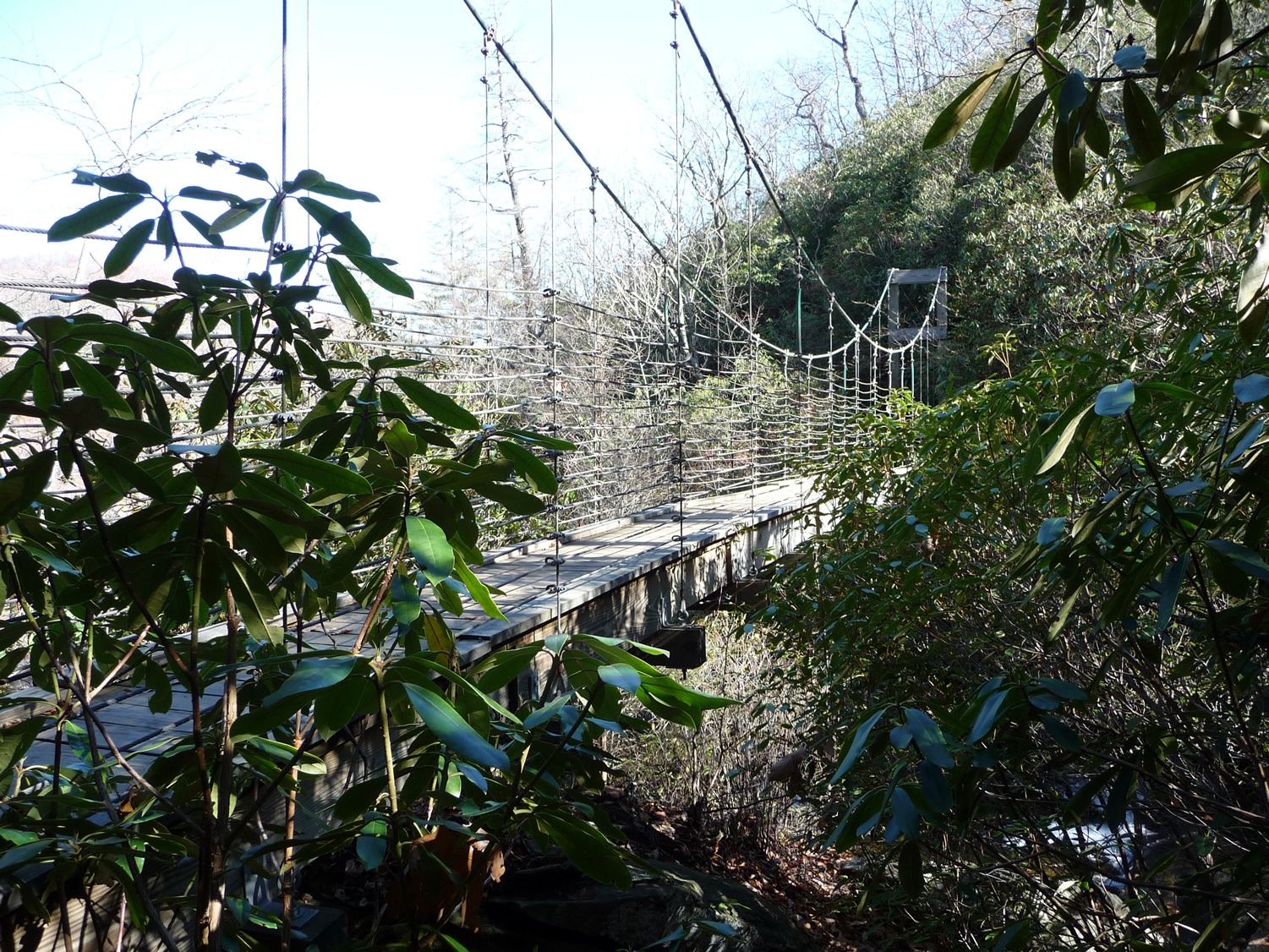
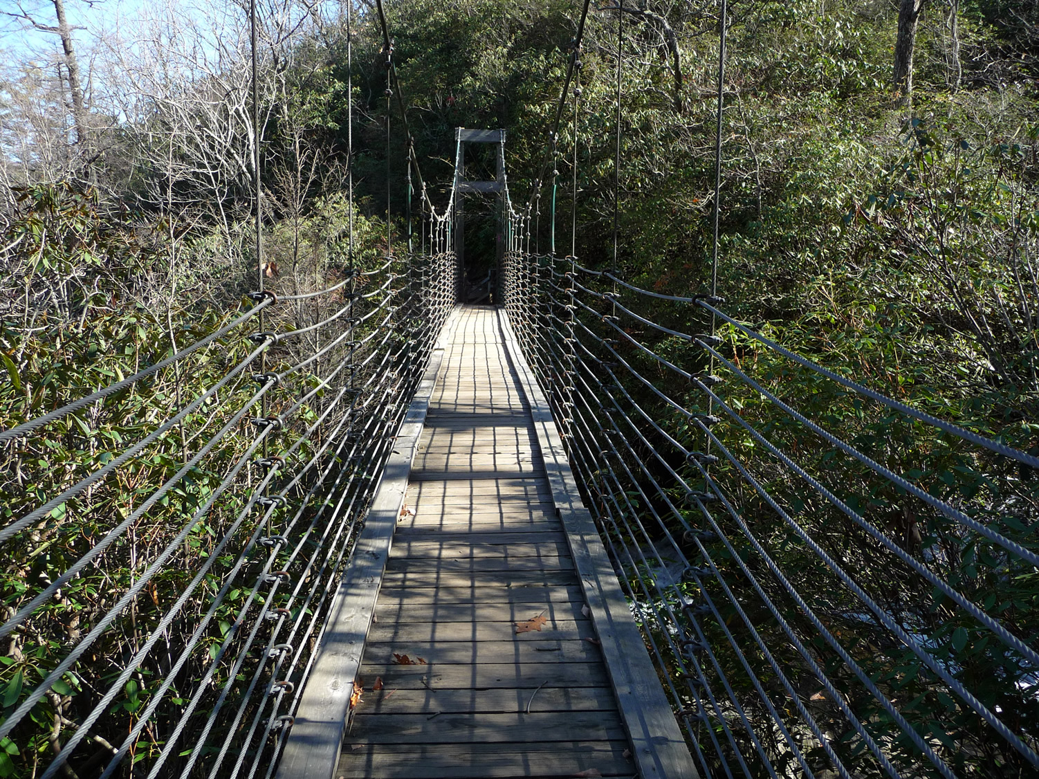
Following this, one climbs 2 sets of ladders, as well as a good sized rock ledge in your continuing ascent to the suspension bridge directly over the falls.
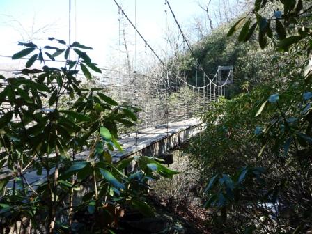
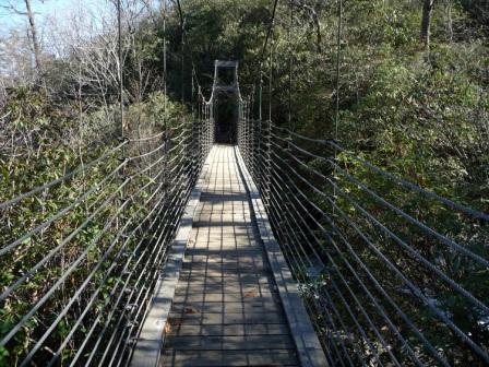
Once you've arrived onto the bridge, enjoy the views both downstream (which looks out across the gorge to the northeast) as well as upstream.
While standing on the bridge, looking downstream, look across the gorge, and you will see the ridge where the observation deck that you were at at the beginning of this hike is located. Look up HIGHER from your current eye level position, and towards the right and you should find it.
 |
This is what the view across the gorge looks like standing on the bridge. Even looking at the photo to the left at full size, it is hard to spot the observation deck. |
With the camera set to full zoom level, I took the shot to the right a few moments after the shot above. |
 |
The photos above were taken in February, 2009;
the one below in October, 2011
After crossing the bridge, the trail continues to follow Matthews Creek for another tenth of a mile or so, providing several wonderful spots along the creek for a lunch break.
View of rapids just upstream from Raven Cliff Falls
as viewed from our lunch spot
0.4 mile from the suspension bridge, Naturaland Trust Trail ends, coming to a "T" at Gum Gap Trail (see waypoint on GPS map, above.).
Make a right turn at this "T". At this point, it is 2.9 miles back to Raven Cliff Parking Lot. The hiking here is rather anti-climactic after the impressive rapids, waterfalls, and granite cliffs one has been treated to up until this point. The trip back to Raven Cliff parking lot is along a heavily used, wide trail. Having been treated to the sounds of Matthews Creek's rapids for the past couple hours, you find this section strangely quiet!
The trail back to the parking lot is easy to follow, but watch for a 90° right hand turn 1.1 miles from the turn off from Naturaland Trust Trail. The jeep road you are following goes straight in a wide, flat area. Mountain Bridge sign posts are placed to your right, signaling a right hand turn, which will take your around an iron pipe gate.
0.4 mile from this gate you reach the junction with Raven Cliff Falls Trail that bears right, going to the observation deck. Continue LEFT, and you will reach the parking area in 1.5 miles.
back to top